Weather Report: Instability from tropical wave causes showers Loop Barbados
Black Immigrant Daily News
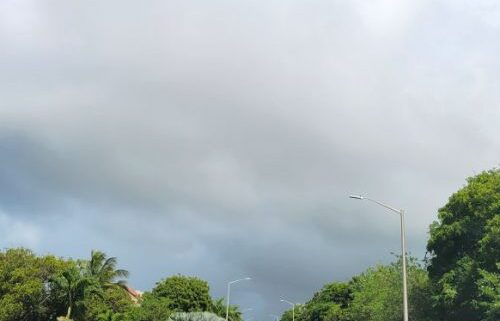
Barbados will experience light to moderate showers with a slight chance of isolated thunderstorms today, Sunday, August 7, 2022. This is according to the Barbados Meteorological Services.
Weather Forecast
Morning
A surface to low-level shear line is affecting the island.
General Forecast: Mostly cloudy to overcast with the occasional intermittent scattered light to moderate showers and a very slight chance of isolated thunderstorms.
Tonight
Synopsis: A surface to low-level shear line will continue to affect the island.
General Forecast: Mostly cloudy with clear breaks with the occasional scattered light to moderate showers and a very slight chance of isolated thunderstorms.
Barbados Forecast Max/Min Temps: 30/24.
Weather Discussion
As the tropical wave near 63W continued westwards instability trailing over Barbados and the central section of the region generated cloudy skies and light to moderate scattered showers. Favourable upper-level conditions also allowed for isolated thunderstorm activity across the area. The 12-hour rainfall accumulations from 6pm til 6am here in Barbados ranged from 11.8mm here at Charnocks in Christ Church to a maximum of just over an inch (26.8mm) near Hope land, St. Philip. Other rainfall totals such as 22.6mm, 20.8 and 18.2 were also recorded in Mile and a Quater, St. Peter, Groves, St. Philip and Alleynedale Hall, St. Peter respectively. After midnight Barbados reported a gradual improvement while the islands of the Leewards and northern Windwards remained under similar weather conditions.
Eastern Caribbean Outlook:
Instability generated by moisture and instability trailing the wave at 63W will maintain light to moderate convection across the Leewards and northern Windwards where upper-level conditions will remain conducive for convective enhancement. During the night a shear line is expected to shift southwestwards while a low-level trough approaches the southern Leewards and northern Windwards. Elsewhere, a weak ridge pattern will be the dominant feature with occasionally cloudy skies anticipated.
NewsAmericasNow.com


Leave a Reply
Want to join the discussion?Feel free to contribute!